Buying farmland can be a complicated process. There are many boxes to check before committing to a purchase. One such thing is studying farmland soil maps to better understand the farmland soil quality on the property you intend to buy. Read on for detailed info on soil types, USDA soil maps, web soil surveys, soil types, and more.
Editor’s Note: This is not financial, investment, legal, or real estate advice. Consult with a financial planner, investment specialist, real estate lawyer, and real estate professional before buying or selling land at auction.
Understand the Components of a Soil Map
Soil maps aid in assessing various elements of soil conditions. Some of these include terrain slope, soil texture, soil drainage, and soil productivity ratings. These different components of soil quality gauge how effective a piece of ground will be at growing crops, supporting livestock, or even planting food plots for wildlife.
Terrain Slope: Analyzing the soil requires knowing terrain slope, which is gauged through percentage gradients and map unit letters. The gradient is gauged by the vertical rise divided by horizontal distance to be expressed by a percentage. For example, a 10-yard rise over 100 yards is a 10% slope. Then, designated map symbols represent certain ranges (e.g.: A equals 0-2%, B equals 3-5%, etc.).
Soil Texture: Soil texture describes the ratios and prevalence of sand, silt, and clay in the top soil. These are described as textural groups, such as sandy clay, silt loam, etc. This is determined by the standard USDA soil texture triangle. Lab-studied soil tests effectively classify the soil.
Soil Drainage: Soil is categorized into one of several soil drainage classes. It assesses several factors, including permeability, water table depth, and mottling/coloring patterns.
Soil Productivity Rating: The overall soil productivity rating is a numerical indices that helps anticipate annual yields. The National Commodity Crop Productivity Index (NCCPI) operates on a 0-1 scale. Additionally, some states use state-specific scales, such as Iowa’s CSR2, which is a scale ranging 5-100. Of course, higher numbers represent higher-quality ground that can support greater yields.
Evaluate Soil Productivity and Capability Indices
Different indices are used to evaluate productivity and yield capabilities. Available ratings, such as the Local Productivity Index (PI) and National Commodity Crop Productivity Index (NCCPI), offer ideal information for assessing soil quality. Use these benchmarks to determine the value of land of interest.
Use the USDA Web Soil Survey
The Web Soil Survey, courtesy of the USDA-NRCS SSURGO database, effectively grades the soil textures, drainage, and overall productivity. This survey uses standardized alphanumeric map units. It also produces physical measurements and specialized index models.
When using digital tools, outline the border of the area of interest. For most online platforms, this engages the available tools for the specific area of interest. Then, gauge each relevant metric for the ground in question. Study each of the available soil component details.
Study Land ID
Apps and other digital assets are available to study soil data. "Online, there is plenty of data because a lot of the soil has been sampled and the maps are out there,” said Neil Hauger with Whitetail Properties. “Data is already online with tools like Land ID ... It has been collected by the university extension office or the USDA extension office."
Estimate Soil Drainage Capabilities
Determine the soil drainage capabilities of the landscape. This too impacts the ability to grow crops and raise livestock. For example, well-drained soils tend to dry out rather quickly. Think loamy soil. In contrast, poorly drained soils drain more slowly. That’s clay-based soil. For poorly drained soils, oftentimes the only remedy is installing drain tile. This drainage investment tends to be very expensive, albeit a necessary land improvement.
Analyze the Depth to Restrictive Layers Measurement
Analyze the depth to restrictive layers measurement. There are many things that can restrict plant root penetration. Hardpan, shallow bedrock, high water tables, and more, can limit root depth. This greatly impacts the soil quality rating, and what crops or number of livestock it can support.
Determine Land-Used Designations Based on Soil Assessments
Examine the land-use suggestions and designations based on soil assessments. Is it ideal farmland? Does it work for cultivating row crops? Or is it more attuned to hay crops and livestock? Before buying farmland, determine whether or not a tract is suitable for your intended purpose. If so, great. If not, keep looking for the right property.
If buying the land for production farming:
"My first thought is, are you buying it to be a farmer, or are you just buying farmland that you're probably going to transition into a hobby farm?” Hauger said. “That would be my first separation: what do you plan to do with it?
"If you're a farmer, you're going to have lower yield on farmland that's really sandy,” Hauger continued. “If those soil maps show low pH and a low fertility index, that is going to affect your input costs to get it back to a level that is conducive to farming.”
If buying the land to build a home or hobby farm:
"On a building level, if you're going to mainly build on it and maybe have a surface farm where you're not necessarily going to row crop it, [soil fertility] might be less of an issue,” Hauger said
"If you're just going to raise cheaper horses, then [soil quality] is probably not as critical, as long as the land is buildable and drainable,” Hauger continued. "Drain-ability is going to go back to the perk testing and whether you'll have a conventional septic for your home, a mound system, or a collection system.”
Walk the Property Watch Out for Past, Current, and Future Soil Erosion Issues
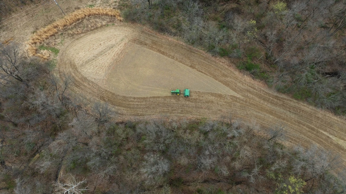
Soil maps are great, but in-person inspection is necessary as well. Walk the property and make close observations. Watch for past and current soil erosion issues. Are there obvious scars from the past? Can you find recently created erosion areas? Any clues that new ones might emerge? Make notes as needed.
Take Soil Samples and Complete Soil Tests
While walking the property to inspect soil erosion, it’s also important to take soil samples. Time permitting, complete these soil tests to better understand the soil quality. Sure, soil maps are usually right, but official soil tests confirm high-odds expectations.
Of course, consider typical soil testing processes and timelines. Give yourself enough time to complete this all-important task.
"I've done soil tests within a couple weeks,” Hauger said. “I personally soil tested and they went out to [take] core samples. It is really based on their availability."
"If you want specific info about that farm, you're probably going to have to have a soil scientist go out and take core samples,” Hauger concluded.
For landowners looking to sell at auction, contact Ranch & Farm Auctions. We can answer questions and help with your auctioneering needs. For buyers hoping to purchase land, check out some of the upcoming Ranch & Farm Auctions near you.